Hunter's Tor Drive
Introduction
The photograph on this page of Hunter's Tor Drive by Derek Harper as part of the Geograph project.
The Geograph project started in 2005 with the aim of publishing, organising and preserving representative images for every square kilometre of Great Britain, Ireland and the Isle of Man.

There are currently over 7.5m images from over 14,400 individuals and you can help contribute to the project by visiting https://www.geograph.org.uk
Hunter's Tor Drive
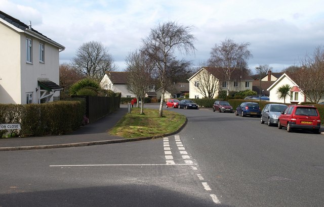
Image: © Derek Harper Taken: 23 Mar 2009
A well-used road that connects Hookhills Road with the A3022, which is just around the corner. On the left is Fox Tor Close.
Images are licensed for reuse under creativecommons.org/licenses/by-sa/2.0
Image Location
Latitude
50.406595
Longitude
-3.569437