Footpath to South Ryehill
Introduction
The photograph on this page of Footpath to South Ryehill by Mick Garratt as part of the Geograph project.
The Geograph project started in 2005 with the aim of publishing, organising and preserving representative images for every square kilometre of Great Britain, Ireland and the Isle of Man.

There are currently over 7.5m images from over 14,400 individuals and you can help contribute to the project by visiting https://www.geograph.org.uk
Footpath to South Ryehill
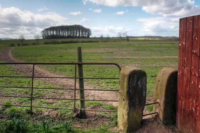
Image: © Mick Garratt Taken: 26 Mar 2009
The plantation in the distance is Starvation Clump (Image) where, on 1 July 2003, the badly decomposed body of Darren Manders was discovered by a dog walker partly hidden under a pile of logs. Manders was a 31-year-old drug addict from Middlesbrough and had been bludgeoned to death. The case remains unsolved.
Images are licensed for reuse under creativecommons.org/licenses/by-sa/2.0
Image Location
Latitude
54.50998
Longitude
-1.167341