
Bussock Camp Hillfort - Centre
Introduction
The photograph on this page of Bussock Camp Hillfort - Centre by D Gore as part of the Geograph project.
The Geograph project started in 2005 with the aim of publishing, organising and preserving representative images for every square kilometre of Great Britain, Ireland and the Isle of Man.

There are currently over 7.5m images from over 14,400 individuals and you can help contribute to the project by visiting https://www.geograph.org.uk
Bussock Camp Hillfort - Centre
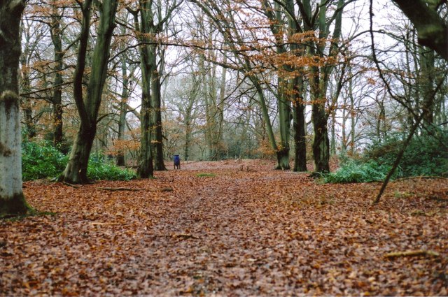
Image: © D Gore Taken: 15 Feb 2009
This is the level ground near the centre of this iron-age hillfort which extends to 11 acres on top of a spur which today overlooks the M4 motorway near junction 13. The fort, which is in private woodland, is protected by double ramparts and ditches for most of its perimeter. See views of the ramparts at Image The fort has not been investigated but probably housed a fluctuating population of up to 300 ancient Britons some 2000 or more years ago. Gallery http://www.geograph.org.uk/gallery/iron_age_hillforts_9959
Images are licensed for reuse under creativecommons.org/licenses/by-sa/2.0
Image Location

Latitude
51.448843
Longitude
-1.328508