
Bussock Camp Hillfort ? North Entrance
Introduction
The photograph on this page of Bussock Camp Hillfort ? North Entrance by D Gore as part of the Geograph project.
The Geograph project started in 2005 with the aim of publishing, organising and preserving representative images for every square kilometre of Great Britain, Ireland and the Isle of Man.

There are currently over 7.5m images from over 14,400 individuals and you can help contribute to the project by visiting https://www.geograph.org.uk
Bussock Camp Hillfort ? North Entrance
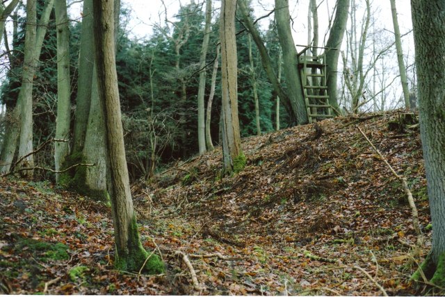
Image: © D Gore Taken: 15 Feb 2009
This is part of the old double rampart and ditches at the north entrance to this iron-age hillfort http://en.wikipedia.org/wiki/Iron_Age. The fort, built on a spur of plateau gravel, covers an area of 11 acres http://www.megalithic.co.uk/article.php?sid=7721 . Today the M4 motorway, near junction 13, runs just below this north entrance to the fort but trees prevent any view of the traffic from the ramparts. The whole area of the fort is private woodland which is used for game shooting. The makeshift ladder on top of the inner rampart is a hunter’s high seat http://www.geograph.org.uk/gallery/hunters_high_seats_shooting_platforms_10172 . See other views at Image and Gallery at http://www.geograph.org.uk/gallery/iron_age_hillforts_9959
Images are licensed for reuse under creativecommons.org/licenses/by-sa/2.0
Image Location

Latitude
51.450193
Longitude
-1.328776