Dollis Brook
Introduction
The photograph on this page of Dollis Brook by Martin Addison as part of the Geograph project.
The Geograph project started in 2005 with the aim of publishing, organising and preserving representative images for every square kilometre of Great Britain, Ireland and the Isle of Man.

There are currently over 7.5m images from over 14,400 individuals and you can help contribute to the project by visiting https://www.geograph.org.uk
Dollis Brook
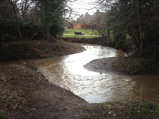
Image: © Martin Addison Taken: 15 Feb 2006
View of Dollis Brook looking south from Old Finchleians Memorial Ground, woodside Park. In the foreground is a tributary that flows down from the fields behind Totteridge Common. The main brook enters the picture from the left.
Images are licensed for reuse under creativecommons.org/licenses/by-sa/2.0
Image Location
Latitude
51.616467
Longitude
-0.190176