Underground Electricity Cables Access Station
Introduction
The photograph on this page of Underground Electricity Cables Access Station by Mick Garratt as part of the Geograph project.
The Geograph project started in 2005 with the aim of publishing, organising and preserving representative images for every square kilometre of Great Britain, Ireland and the Isle of Man.

There are currently over 7.5m images from over 14,400 individuals and you can help contribute to the project by visiting https://www.geograph.org.uk
Underground Electricity Cables Access Station
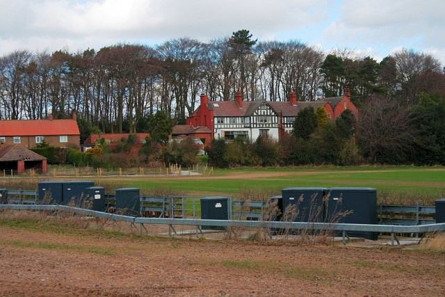
Image: © Mick Garratt Taken: 26 Mar 2009
After much public pressure a section of the proposed 50-mile 400 kV overhead transmission line from Teesside to York was buried underground.
Images are licensed for reuse under creativecommons.org/licenses/by-sa/2.0
Image Location


Leaflet Map data © OpenStreetMap
Latitude
54.510546
Longitude
-1.184473