Spion Kop
Introduction
The photograph on this page of Spion Kop by Mick Garratt as part of the Geograph project.
The Geograph project started in 2005 with the aim of publishing, organising and preserving representative images for every square kilometre of Great Britain, Ireland and the Isle of Man.

There are currently over 7.5m images from over 14,400 individuals and you can help contribute to the project by visiting https://www.geograph.org.uk
Spion Kop
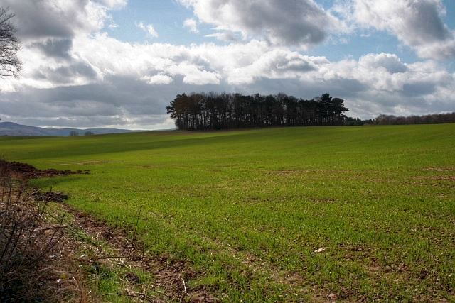
Image: © Mick Garratt Taken: 26 Mar 2009
The name of a circular plantation which dominates the vista from Grey Towers (Image) the former home of Middlesbrough ironmaster William Randolph Innis Hopkins. Spion Kop was the name of a famous British defeat in the Boer War. The plantation presumably dates from that time.
Images are licensed for reuse under creativecommons.org/licenses/by-sa/2.0
Image Location
Latitude
54.506081
Longitude
-1.188732