Lane with houses on one side only
Introduction
The photograph on this page of Lane with houses on one side only by Row17 as part of the Geograph project.
The Geograph project started in 2005 with the aim of publishing, organising and preserving representative images for every square kilometre of Great Britain, Ireland and the Isle of Man.

There are currently over 7.5m images from over 14,400 individuals and you can help contribute to the project by visiting https://www.geograph.org.uk
Lane with houses on one side only
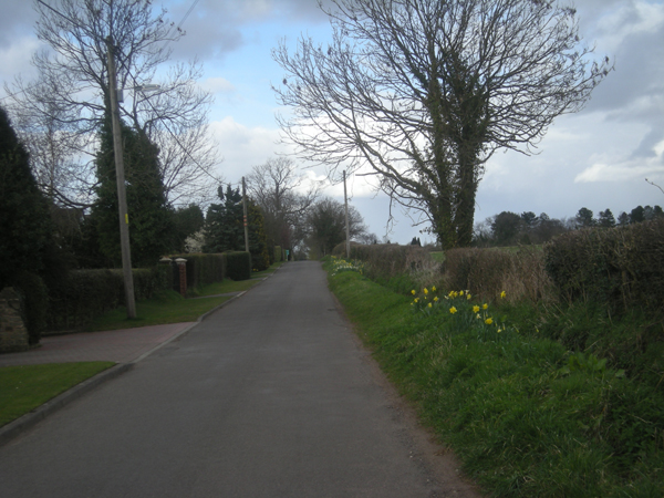
Image: © Row17 Taken: 27 Mar 2009
Strip development near Nurton. To the right is green belt between Wolverhampton and the villages to the west.
Images are licensed for reuse under creativecommons.org/licenses/by-sa/2.0
Image Location


Leaflet Map data © OpenStreetMap
Latitude
52.588027
Longitude
-2.236417