Park Farm
Introduction
The photograph on this page of Park Farm by David Anstiss as part of the Geograph project.
The Geograph project started in 2005 with the aim of publishing, organising and preserving representative images for every square kilometre of Great Britain, Ireland and the Isle of Man.

There are currently over 7.5m images from over 14,400 individuals and you can help contribute to the project by visiting https://www.geograph.org.uk
Park Farm
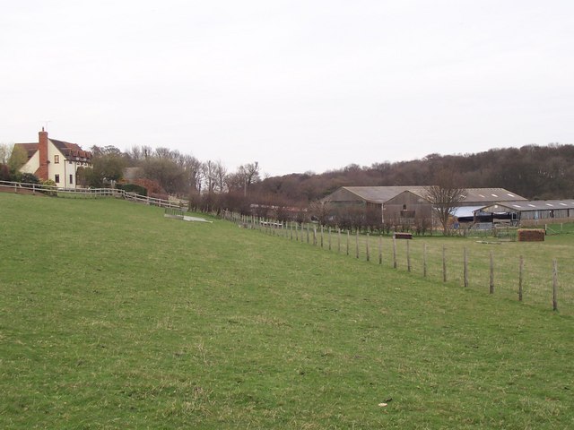
Image: © David Anstiss Taken: 24 Mar 2009
Typical Valley farm with house at top of valley, and farm buildings below. As seen from footpath from Tickham Lane, near Little Sharsted Farm, via Lynsted Park to Tickham Lane, near Newnham.
Images are licensed for reuse under creativecommons.org/licenses/by-sa/2.0
Image Location
Latitude
51.308572
Longitude
0.789178