Blind Lane, Illingworth
Introduction
The photograph on this page of Blind Lane, Illingworth by Humphrey Bolton as part of the Geograph project.
The Geograph project started in 2005 with the aim of publishing, organising and preserving representative images for every square kilometre of Great Britain, Ireland and the Isle of Man.

There are currently over 7.5m images from over 14,400 individuals and you can help contribute to the project by visiting https://www.geograph.org.uk
Blind Lane, Illingworth
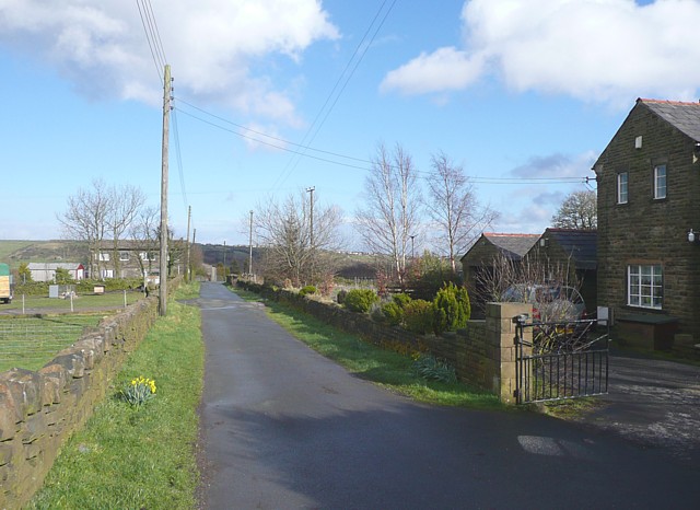
Image: © Humphrey Bolton Taken: 26 Mar 2009
A bridleway, closed to motor vehicles after South Peat Pitts, which is the house in the distance.
Images are licensed for reuse under creativecommons.org/licenses/by-sa/2.0
Image Location
Latitude
53.763606
Longitude
-1.895294