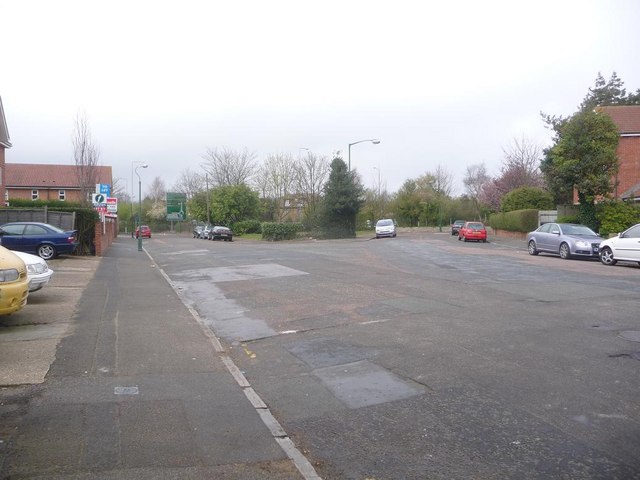
Springbourne: Portchester Place
Introduction
The photograph on this page of Springbourne: Portchester Place by Chris Downer as part of the Geograph project.
The Geograph project started in 2005 with the aim of publishing, organising and preserving representative images for every square kilometre of Great Britain, Ireland and the Isle of Man.
There are currently over 7.5m images from over 14,400 individuals and you can help contribute to the project by visiting https://www.geograph.org.uk

Image: © Chris Downer Taken: 26 Mar 2009
When the town-centre by-pass was put through in the 1970s (the green road sign is visible to the left), several of these parallel roads were severed, as can be seen from the map. The 'Road' endings were retained on the western side, while Place and Close and Gardens were substituted for these small sections on the east. This is Portchester Place, while Portchester Road is on the other side; likewise for example Lowther Gardens and Lowther Road, Shelbourne Close and Shelbourne Road, etc. This particular road also happens to mark where Ascham Road would originally have come out on Portchester Road – it can be seen from the map that Ascham Road would have continued roughly north and would have been a relatively major route (running into Bennett Road which is coloured yellow on the map). This explains why the right-hand arm as we look has a large street-light while a typical smaller side-road lamppost is seen on the left.

