Limekiln, Whittle Spinney
Introduction
The photograph on this page of Limekiln, Whittle Spinney by Ian Taylor as part of the Geograph project.
The Geograph project started in 2005 with the aim of publishing, organising and preserving representative images for every square kilometre of Great Britain, Ireland and the Isle of Man.

There are currently over 7.5m images from over 14,400 individuals and you can help contribute to the project by visiting https://www.geograph.org.uk
Limekiln, Whittle Spinney
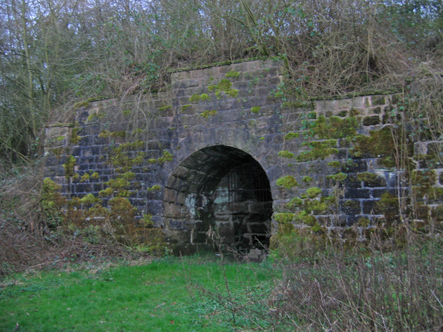
Image: © Ian Taylor Taken: 25 Mar 2009
This lime kiln is only a few metres from the abandoned southern section of the Lancaster Canal. The woodland is owned by the Woodland Trust.
Images are licensed for reuse under creativecommons.org/licenses/by-sa/2.0
Image Location
Latitude
53.69852
Longitude
-2.63337