Pylons west of Ashford Hill
Introduction
The photograph on this page of Pylons west of Ashford Hill by Graham Horn as part of the Geograph project.
The Geograph project started in 2005 with the aim of publishing, organising and preserving representative images for every square kilometre of Great Britain, Ireland and the Isle of Man.

There are currently over 7.5m images from over 14,400 individuals and you can help contribute to the project by visiting https://www.geograph.org.uk
Pylons west of Ashford Hill
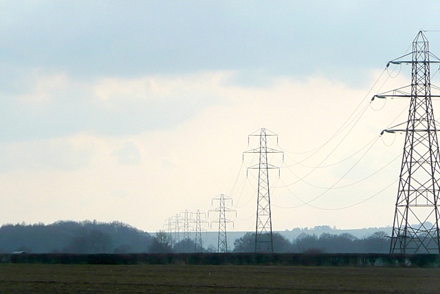
Image: © Graham Horn Taken: 1 Mar 2009
This line of pylons crosses arable land. It runs from the sub-station at Thatcham Image to the sub-station at Charlton, north of Andover at Image
Images are licensed for reuse under creativecommons.org/licenses/by-sa/2.0
Image Location
Latitude
51.360724
Longitude
-1.212885