Fishermen's Pathway to North Haven, Aberdeenshire
Introduction
The photograph on this page of Fishermen's Pathway to North Haven, Aberdeenshire by Lynette and Malcolm Johnson as part of the Geograph project.
The Geograph project started in 2005 with the aim of publishing, organising and preserving representative images for every square kilometre of Great Britain, Ireland and the Isle of Man.

There are currently over 7.5m images from over 14,400 individuals and you can help contribute to the project by visiting https://www.geograph.org.uk
Fishermen's Pathway to North Haven, Aberdeenshire
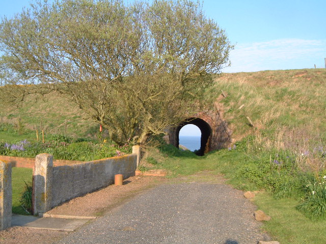
Image: © Lynette and Malcolm Johnson Taken: 9 May 2004
This path leads to North Haven near Bullers of Buchan and passes under the disused Formartine & Buchan Railway. Once used to transport fish from Boddam nr Peterhead, and visitors to Cruden Bay, the trackbed of the line is now a feature of the landscape snaking up the east of Aberdeenshire.
Images are licensed for reuse under creativecommons.org/licenses/by-sa/2.0
Image Location
Latitude
57.43491
Longitude
-1.821768