Kinnaird
Introduction
The photograph on this page of Kinnaird by Alan Thomson as part of the Geograph project.
The Geograph project started in 2005 with the aim of publishing, organising and preserving representative images for every square kilometre of Great Britain, Ireland and the Isle of Man.

There are currently over 7.5m images from over 14,400 individuals and you can help contribute to the project by visiting https://www.geograph.org.uk
Kinnaird
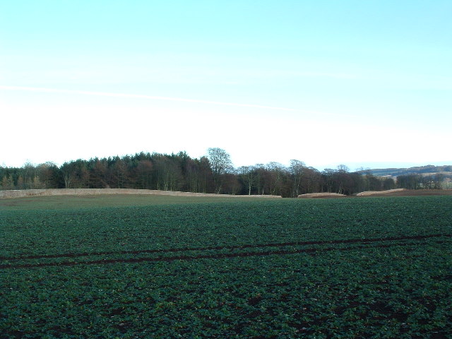
Image: © Alan Thomson Taken: 10 Feb 2006
Part of the 15km (approx) wall that encloses Kinnaird Castle and park near Brechin, taken 1km north of Farnell.
Images are licensed for reuse under creativecommons.org/licenses/by-sa/2.0
Image Location


Leaflet Map data © OpenStreetMap
Latitude
56.698703
Longitude
-2.613965