Path near River Hodder
Introduction
The photograph on this page of Path near River Hodder by Peter Bond as part of the Geograph project.
The Geograph project started in 2005 with the aim of publishing, organising and preserving representative images for every square kilometre of Great Britain, Ireland and the Isle of Man.

There are currently over 7.5m images from over 14,400 individuals and you can help contribute to the project by visiting https://www.geograph.org.uk
Path near River Hodder
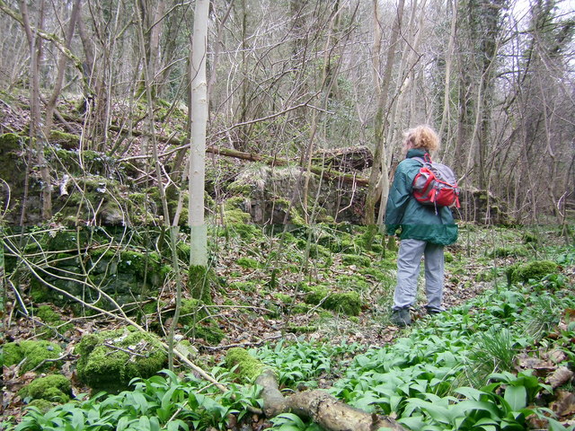
Image: © Peter Bond Taken: 26 Mar 2009
We were looking at a ruined stone wall-like structure next to the river.
Images are licensed for reuse under creativecommons.org/licenses/by-sa/2.0
Image Location


Leaflet Map data © OpenStreetMap
Latitude
53.855447
Longitude
-2.456802