Trackway south of Devil's Bridge, Ceredigion
Introduction
The photograph on this page of Trackway south of Devil's Bridge, Ceredigion by Roger D Kidd as part of the Geograph project.
The Geograph project started in 2005 with the aim of publishing, organising and preserving representative images for every square kilometre of Great Britain, Ireland and the Isle of Man.

There are currently over 7.5m images from over 14,400 individuals and you can help contribute to the project by visiting https://www.geograph.org.uk
Trackway south of Devil's Bridge, Ceredigion
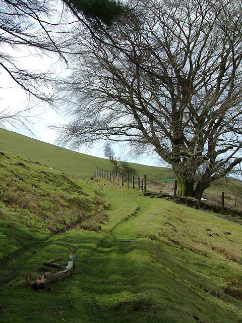
Image: © Roger D Kidd Taken: 15 Mar 2009
This track is not marked as a public way on present day maps. It does lead to and continue as a designated public restricted byway less than 300 metres ahead.
Images are licensed for reuse under creativecommons.org/licenses/by-sa/2.0
Image Location


Leaflet Map data © OpenStreetMap
Latitude
52.371245
Longitude
-3.843663