High and Over, Cradle Hill
Introduction
The photograph on this page of High and Over, Cradle Hill by Simon Carey as part of the Geograph project.
The Geograph project started in 2005 with the aim of publishing, organising and preserving representative images for every square kilometre of Great Britain, Ireland and the Isle of Man.

There are currently over 7.5m images from over 14,400 individuals and you can help contribute to the project by visiting https://www.geograph.org.uk
High and Over, Cradle Hill
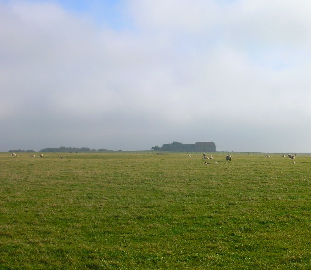
Image: © Simon Carey Taken: 14 Feb 2006
Taken from the bridleway heading south and looking east along Cradle Hill to its peak at High and Over on the left of the picture. The southern edge of the grid square enters roughly where the sheep are standing on the right hand side and goes to the left of the barn.
Images are licensed for reuse under creativecommons.org/licenses/by-sa/2.0
Image Location
Latitude
50.788962
Longitude
0.138058