Footpath and trough off Moor End Road, Ovenden
Introduction
The photograph on this page of Footpath and trough off Moor End Road, Ovenden by Humphrey Bolton as part of the Geograph project.
The Geograph project started in 2005 with the aim of publishing, organising and preserving representative images for every square kilometre of Great Britain, Ireland and the Isle of Man.

There are currently over 7.5m images from over 14,400 individuals and you can help contribute to the project by visiting https://www.geograph.org.uk
Footpath and trough off Moor End Road, Ovenden
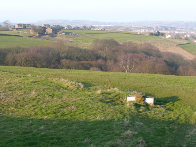
Image: © Humphrey Bolton Taken: 20 Mar 2009
The footpath crosses another at the top end of the wood in the valley, and then goes up to Lower Highfield.
Images are licensed for reuse under creativecommons.org/licenses/by-sa/2.0
Image Location
Latitude
53.738456
Longitude
-1.916581