Balkram Edge, Ovenden
Introduction
The photograph on this page of Balkram Edge, Ovenden by Humphrey Bolton as part of the Geograph project.
The Geograph project started in 2005 with the aim of publishing, organising and preserving representative images for every square kilometre of Great Britain, Ireland and the Isle of Man.

There are currently over 7.5m images from over 14,400 individuals and you can help contribute to the project by visiting https://www.geograph.org.uk
Balkram Edge, Ovenden
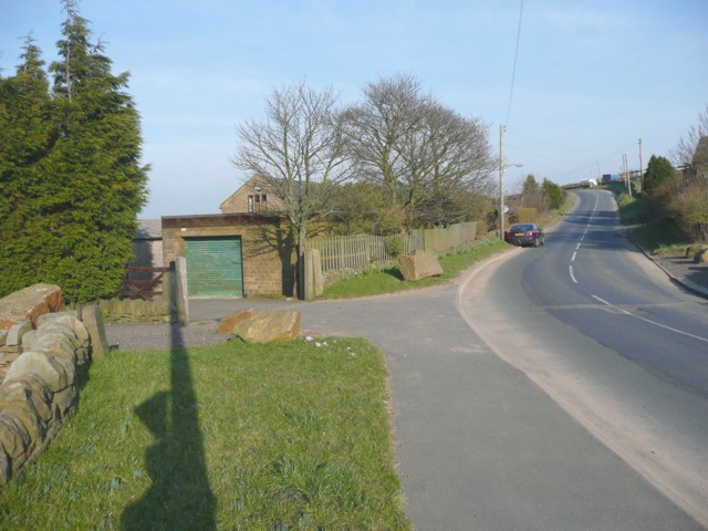
Image: © Humphrey Bolton Taken: 20 Mar 2009
That is the name of the road. This image shows the position of the old boundary stone (between Warley and Ovenden), at the corner of the wall on the left. The triangular part of the shadow is a public footpath sign. The bulges in front of it are the shadow of photographer desperately trying to merge it into that of the telephone pole.
Images are licensed for reuse under creativecommons.org/licenses/by-sa/2.0
Image Location
Latitude
53.74835
Longitude
-1.927176