Hessle Road, Hull
Introduction
The photograph on this page of Hessle Road, Hull by Paul Glazzard as part of the Geograph project.
The Geograph project started in 2005 with the aim of publishing, organising and preserving representative images for every square kilometre of Great Britain, Ireland and the Isle of Man.

There are currently over 7.5m images from over 14,400 individuals and you can help contribute to the project by visiting https://www.geograph.org.uk
Hessle Road, Hull
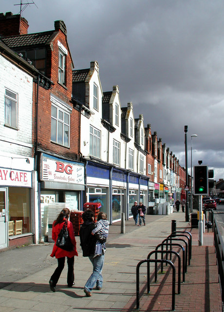
Image: © Paul Glazzard Taken: 25 Mar 2009
Looking east-northeast from outside Molly Mollones fish shop at No.394, opposite St Andrews Retail Park. Most of the shops on Hessle Road have been earmarked by the city council for a 'commercial frontage improvement' between 2011 and 2014.
Images are licensed for reuse under creativecommons.org/licenses/by-sa/2.0
Image Location
Latitude
53.734404
Longitude
-0.369259