Footpath junction near Abbey Wood
Introduction
The photograph on this page of Footpath junction near Abbey Wood by David Anstiss as part of the Geograph project.
The Geograph project started in 2005 with the aim of publishing, organising and preserving representative images for every square kilometre of Great Britain, Ireland and the Isle of Man.

There are currently over 7.5m images from over 14,400 individuals and you can help contribute to the project by visiting https://www.geograph.org.uk
Footpath junction near Abbey Wood
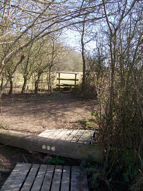
Image: © David Anstiss Taken: 18 Mar 2009
Fallen telegraph pole is an unusual place to put footpath markers. The two pallets are used to climb over the telegraph pole. Path from Chartway Street goes straight over pole and stile to head to Abbey Wood and then on to Pitt Road. Path crossing this heads left through orchard and polytunnels to Oakdene Farm on A274 Maidstone Road, from Chartway Street, near Langley Lodge.
Images are licensed for reuse under creativecommons.org/licenses/by-sa/2.0
Image Location
Latitude
51.2245
Longitude
0.59674