Hogwood Farm House
Introduction
The photograph on this page of Hogwood Farm House by Stephen Carter as part of the Geograph project.
The Geograph project started in 2005 with the aim of publishing, organising and preserving representative images for every square kilometre of Great Britain, Ireland and the Isle of Man.

There are currently over 7.5m images from over 14,400 individuals and you can help contribute to the project by visiting https://www.geograph.org.uk
Hogwood Farm House
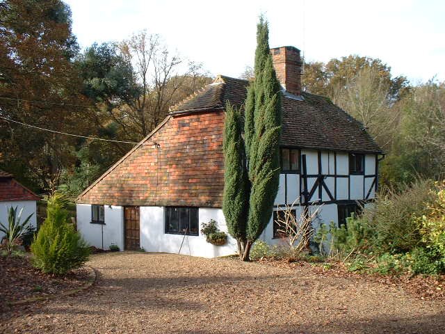
Image: © Stephen Carter Taken: 9 Nov 2000
A XVI century oak framed house on the site of a XIII century glasshouse
Images are licensed for reuse under creativecommons.org/licenses/by-sa/2.0
Image Location
Latitude
51.075867
Longitude
-0.547531