The White Lane, Totley
Introduction
The photograph on this page of The White Lane, Totley by Sally Goldsmith as part of the Geograph project.
The Geograph project started in 2005 with the aim of publishing, organising and preserving representative images for every square kilometre of Great Britain, Ireland and the Isle of Man.

There are currently over 7.5m images from over 14,400 individuals and you can help contribute to the project by visiting https://www.geograph.org.uk
The White Lane, Totley
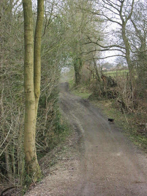
Image: © Sally Goldsmith Taken: Unknown
This track runs from Woodthorpe Hall to Mickley Lane in Totley. Here a tributary of the Totley Brook is culverted and marks the boundary between Derbyshire and Yorkshire.
Images are licensed for reuse under creativecommons.org/licenses/by-sa/2.0
Image Location
Latitude
53.310787
Longitude
-1.528546