Rough grazing near Shermel Gate
Introduction
The photograph on this page of Rough grazing near Shermel Gate by Maigheach-gheal as part of the Geograph project.
The Geograph project started in 2005 with the aim of publishing, organising and preserving representative images for every square kilometre of Great Britain, Ireland and the Isle of Man.

There are currently over 7.5m images from over 14,400 individuals and you can help contribute to the project by visiting https://www.geograph.org.uk
Rough grazing near Shermel Gate
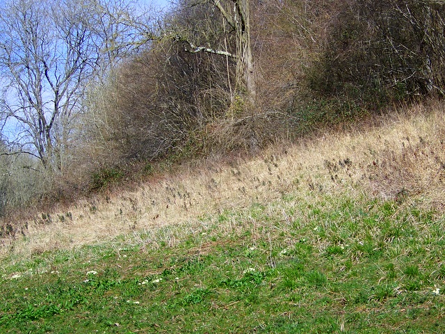
Image: © Maigheach-gheal Taken: 24 Mar 2009
A small area of rough grazing between the byway and shelter belt. The spring flowers are coming into bloom with primroses in profusion.
Images are licensed for reuse under creativecommons.org/licenses/by-sa/2.0
Image Location


Leaflet Map data © OpenStreetMap
Latitude
50.974461
Longitude
-2.022738