Tan-y-fron from the east
Introduction
The photograph on this page of Tan-y-fron from the east by John Haynes as part of the Geograph project.
The Geograph project started in 2005 with the aim of publishing, organising and preserving representative images for every square kilometre of Great Britain, Ireland and the Isle of Man.

There are currently over 7.5m images from over 14,400 individuals and you can help contribute to the project by visiting https://www.geograph.org.uk
Tan-y-fron from the east
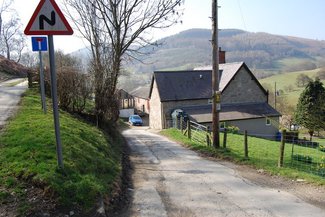
Image: © John Haynes Taken: 19 Mar 2009
Another view of this farm which is on the Taith Clwyd which goes along the track to the left.
Images are licensed for reuse under creativecommons.org/licenses/by-sa/2.0
Image Location


Leaflet Map data © OpenStreetMap
Latitude
53.003642
Longitude
-3.181086