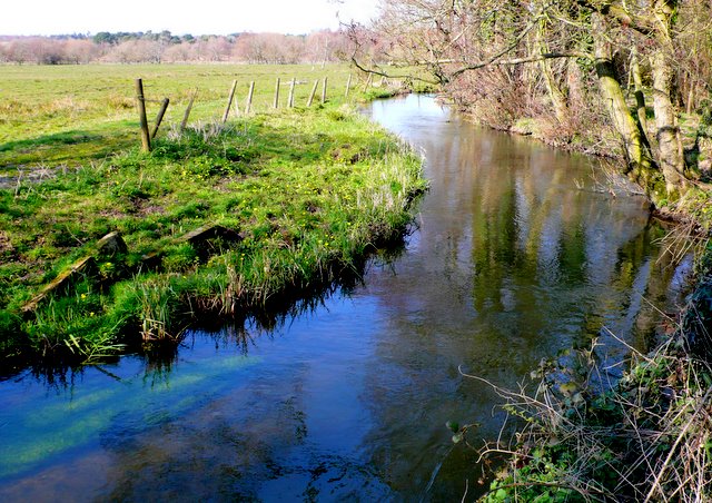
Tadnoll Mill Stream
Introduction
The photograph on this page of Tadnoll Mill Stream by Nigel Mykura as part of the Geograph project.
The Geograph project started in 2005 with the aim of publishing, organising and preserving representative images for every square kilometre of Great Britain, Ireland and the Isle of Man.
There are currently over 7.5m images from over 14,400 individuals and you can help contribute to the project by visiting https://www.geograph.org.uk

Image: © Nigel Mykura Taken: 22 Mar 2009
The stream above the mill has been banked up to allow a good reservoir of water to build up for the mill and the mill stream was noticeably fuller of water than other local streams. This is about 100m upstream of the mill.

