Willsworthy Cross
Introduction
The photograph on this page of Willsworthy Cross by Derek Harper as part of the Geograph project.
The Geograph project started in 2005 with the aim of publishing, organising and preserving representative images for every square kilometre of Great Britain, Ireland and the Isle of Man.

There are currently over 7.5m images from over 14,400 individuals and you can help contribute to the project by visiting https://www.geograph.org.uk
Willsworthy Cross
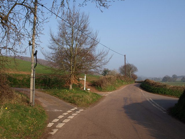
Image: © Derek Harper Taken: 18 Mar 2009
A view of Image from the opposite direction. A fairly significant crossroads once, at least locally, where the lane that had followed the left bank of the River Kenn for over 6 kilometres crosses the old road from Dawlish (right) to Exeter (left).
Images are licensed for reuse under creativecommons.org/licenses/by-sa/2.0
Image Location
Latitude
50.655135
Longitude
-3.504567