Steeple Lane junction
Introduction
The photograph on this page of Steeple Lane junction by John S Turner as part of the Geograph project.
The Geograph project started in 2005 with the aim of publishing, organising and preserving representative images for every square kilometre of Great Britain, Ireland and the Isle of Man.

There are currently over 7.5m images from over 14,400 individuals and you can help contribute to the project by visiting https://www.geograph.org.uk
Steeple Lane junction
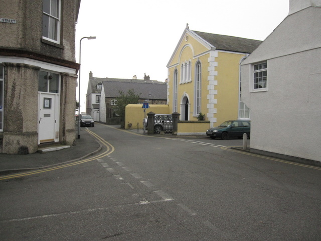
Image: © John S Turner Taken: 21 Mar 2009
Looking across Steeple Lane with Margaret Street entering from the left and Chapel Street on the right. The former Capel Seion Welsh Congregational Church is on the corner of Chapel Street.
Images are licensed for reuse under creativecommons.org/licenses/by-sa/2.0
Image Location
Latitude
53.26285
Longitude
-4.094118