Folly Farm Buildings, Aldbury, near Bulbourne, Tring
Introduction
The photograph on this page of Folly Farm Buildings, Aldbury, near Bulbourne, Tring by Chris Reynolds as part of the Geograph project.
The Geograph project started in 2005 with the aim of publishing, organising and preserving representative images for every square kilometre of Great Britain, Ireland and the Isle of Man.

There are currently over 7.5m images from over 14,400 individuals and you can help contribute to the project by visiting https://www.geograph.org.uk
Folly Farm Buildings, Aldbury, near Bulbourne, Tring
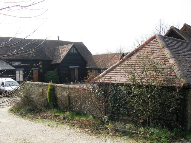
Image: © Chris Reynolds Taken: 21 Mar 2009
The old farm buildings include a large weather-boarded barn, which has been converted to a private house with the name “Folly Barn”.
Images are licensed for reuse under creativecommons.org/licenses/by-sa/2.0
Image Location


Leaflet Map data © OpenStreetMap
Latitude
51.817344
Longitude
-0.636108