Sharrow mill and millpond
Introduction
The photograph on this page of Sharrow mill and millpond by Martin Speck as part of the Geograph project.
The Geograph project started in 2005 with the aim of publishing, organising and preserving representative images for every square kilometre of Great Britain, Ireland and the Isle of Man.

There are currently over 7.5m images from over 14,400 individuals and you can help contribute to the project by visiting https://www.geograph.org.uk
Sharrow mill and millpond
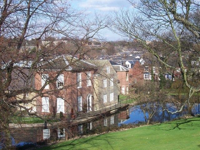
Image: © Martin Speck Taken: 6 Mar 2009
Many of the 'wheels' on Sheffield's rivers and streams were used to grind knives. Some were used to power tilt-hammers to beat metal. At least one was used to grind corn. The mill at Sharrow was used to grind snuff.
Images are licensed for reuse under creativecommons.org/licenses/by-sa/2.0
Image Location
Latitude
53.367992
Longitude
-1.493499