Part of Carroll Close
Introduction
The photograph on this page of Part of Carroll Close by Alan Murray-Rust as part of the Geograph project.
The Geograph project started in 2005 with the aim of publishing, organising and preserving representative images for every square kilometre of Great Britain, Ireland and the Isle of Man.

There are currently over 7.5m images from over 14,400 individuals and you can help contribute to the project by visiting https://www.geograph.org.uk
Part of Carroll Close
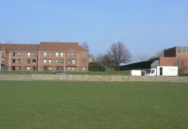
Image: © Alan Murray-Rust Taken: 20 Mar 2009
This new housing was built on land formerly occupied by the Great Central Railway main line and its sidings. The viewpoint would have been directly under the bridge crossing the Trent. There is no sign at all on this side of the river of the railway now until reaching the Station Street Tram Terminus.
Images are licensed for reuse under creativecommons.org/licenses/by-sa/2.0
Image Location
Latitude
52.938435
Longitude
-1.151536