Beauvale Road
Introduction
The photograph on this page of Beauvale Road by Alan Murray-Rust as part of the Geograph project.
The Geograph project started in 2005 with the aim of publishing, organising and preserving representative images for every square kilometre of Great Britain, Ireland and the Isle of Man.

There are currently over 7.5m images from over 14,400 individuals and you can help contribute to the project by visiting https://www.geograph.org.uk
Beauvale Road
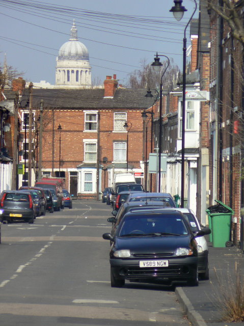
Image: © Alan Murray-Rust Taken: 20 Mar 2009
Typical traditional Meadows terraced street. Telephoto brings the dome of the Council House Image much closer than it really is.
Images are licensed for reuse under creativecommons.org/licenses/by-sa/2.0
Image Location
Latitude
52.941098
Longitude
-1.146871