Mundella Road, looking north
Introduction
The photograph on this page of Mundella Road, looking north by Alan Murray-Rust as part of the Geograph project.
The Geograph project started in 2005 with the aim of publishing, organising and preserving representative images for every square kilometre of Great Britain, Ireland and the Isle of Man.

There are currently over 7.5m images from over 14,400 individuals and you can help contribute to the project by visiting https://www.geograph.org.uk
Mundella Road, looking north
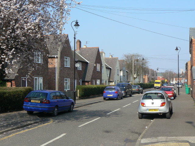
Image: © Alan Murray-Rust Taken: 20 Mar 2009
The houses between Mundella Road ands Wilford Grove are much newer than the rest of the area, but still too old to be bomb-damage replacements.
Images are licensed for reuse under creativecommons.org/licenses/by-sa/2.0
Image Location
Latitude
52.939648
Longitude
-1.145263