Nomansland : B3137 facing South Molton
Introduction
The photograph on this page of Nomansland : B3137 facing South Molton by Lewis Clarke as part of the Geograph project.
The Geograph project started in 2005 with the aim of publishing, organising and preserving representative images for every square kilometre of Great Britain, Ireland and the Isle of Man.

There are currently over 7.5m images from over 14,400 individuals and you can help contribute to the project by visiting https://www.geograph.org.uk
Nomansland : B3137 facing South Molton
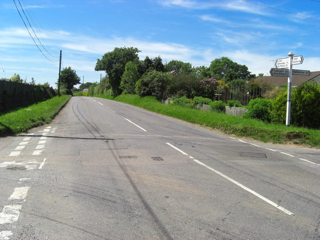
Image: © Lewis Clarke Taken: 8 Jun 2008
Looking in the direction of South Molton - this road connects Tiverton with South Molton. The 155 Barnstaple to Exeter service also uses this stretch of road.
Images are licensed for reuse under creativecommons.org/licenses/by-sa/2.0
Image Location
Latitude
50.912269
Longitude
-3.655949