Radford Semele from St Nicholas' churchyard
Introduction
The photograph on this page of Radford Semele from St Nicholas' churchyard by David Stowell as part of the Geograph project.
The Geograph project started in 2005 with the aim of publishing, organising and preserving representative images for every square kilometre of Great Britain, Ireland and the Isle of Man.

There are currently over 7.5m images from over 14,400 individuals and you can help contribute to the project by visiting https://www.geograph.org.uk
Radford Semele from St Nicholas' churchyard
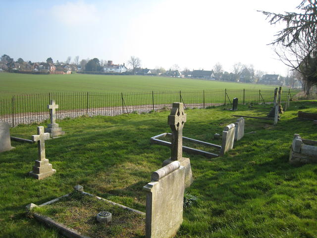
Image: © David Stowell Taken: 19 Mar 2009
This is the converse view to Image with the round tower and white house at the junction of the Offchurch and Southam roads visible in creativecommons.org/licenses/by-sa/2.0
Image Location
Latitude
52.277578
Longitude
-1.497221