Hampton Hargate
Introduction
The photograph on this page of Hampton Hargate by Michael Trolove as part of the Geograph project.
The Geograph project started in 2005 with the aim of publishing, organising and preserving representative images for every square kilometre of Great Britain, Ireland and the Isle of Man.

There are currently over 7.5m images from over 14,400 individuals and you can help contribute to the project by visiting https://www.geograph.org.uk
Hampton Hargate
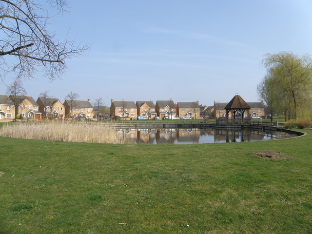
Image: © Michael Trolove Taken: 21 Mar 2009
A new township on the edge of Peterborough consisting of different styles of housing. lots of open space and water features as shown in this pond.
Images are licensed for reuse under creativecommons.org/licenses/by-sa/2.0
Image Location
Latitude
52.541332
Longitude
-0.267101