Valley of Biddlestone Burn
Introduction
The photograph on this page of Valley of Biddlestone Burn by Andrew Curtis as part of the Geograph project.
The Geograph project started in 2005 with the aim of publishing, organising and preserving representative images for every square kilometre of Great Britain, Ireland and the Isle of Man.

There are currently over 7.5m images from over 14,400 individuals and you can help contribute to the project by visiting https://www.geograph.org.uk
Valley of Biddlestone Burn
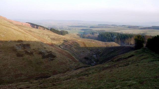
Image: © Andrew Curtis Taken: 20 Mar 2009
The lower slopes of Cold Law are on the other side of the valley with the red rock of Harden Quarry clearly visible. The forest plantation around the lower part of the valley has been recently felled, opening up a view of Biddlestone Chapel still surrounded by trees.
Images are licensed for reuse under creativecommons.org/licenses/by-sa/2.0
Image Location
Latitude
55.371186
Longitude
-2.076496