Newchurch Unitarian Chapel
Introduction
The photograph on this page of Newchurch Unitarian Chapel by John Bayes as part of the Geograph project.
The Geograph project started in 2005 with the aim of publishing, organising and preserving representative images for every square kilometre of Great Britain, Ireland and the Isle of Man.

There are currently over 7.5m images from over 14,400 individuals and you can help contribute to the project by visiting https://www.geograph.org.uk
Newchurch Unitarian Chapel
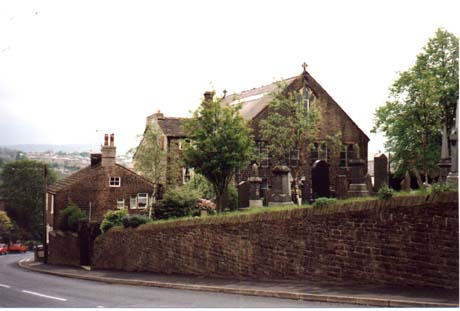
Image: © John Bayes Taken: Unknown
Called the Bethlehem Chapel, it is located on a road called Turnpike leading up the hill from Waterfoot into Newchurch.
Images are licensed for reuse under creativecommons.org/licenses/by-sa/2.0
Image Location
Latitude
53.696876
Longitude
-2.251376