Chart Lane
Introduction
The photograph on this page of Chart Lane by Ian Capper as part of the Geograph project.
The Geograph project started in 2005 with the aim of publishing, organising and preserving representative images for every square kilometre of Great Britain, Ireland and the Isle of Man.

There are currently over 7.5m images from over 14,400 individuals and you can help contribute to the project by visiting https://www.geograph.org.uk
Chart Lane
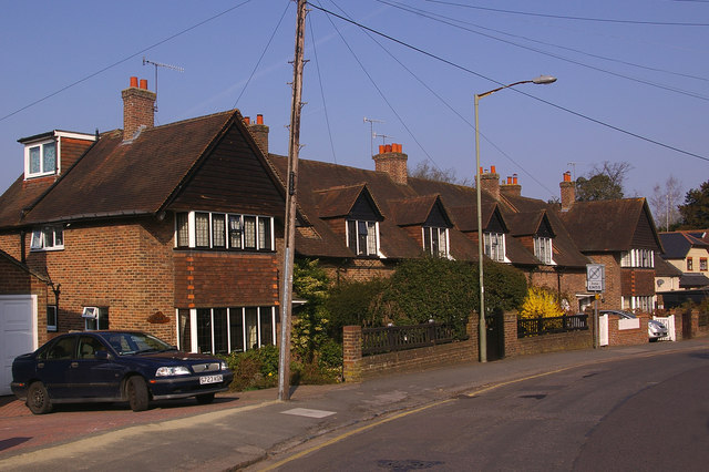
Image: © Ian Capper Taken: 21 Mar 2009
Although physically in Chart Lane, the address of these houses is in The Close. Built in 1927 to a design of local architect Vincent Hooper, they are in the Chart Lane conservation area. Consideration is being given to giving them locally listed status.
Images are licensed for reuse under creativecommons.org/licenses/by-sa/2.0
Image Location
Latitude
51.234838
Longitude
-0.198186