Winkfield Row
Introduction
The photograph on this page of Winkfield Row by Nigel Cox as part of the Geograph project.
The Geograph project started in 2005 with the aim of publishing, organising and preserving representative images for every square kilometre of Great Britain, Ireland and the Isle of Man.

There are currently over 7.5m images from over 14,400 individuals and you can help contribute to the project by visiting https://www.geograph.org.uk
Winkfield Row
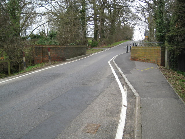
Image: © Nigel Cox Taken: 12 Mar 2009
Winkfield Row is one of those places where the name of the village and the name of the road are the same. This is the B3017 Winkfield Row in Winkfield Row at the point where the road narrows for the bridge over The Cut.
Images are licensed for reuse under creativecommons.org/licenses/by-sa/2.0
Image Location
Latitude
51.437619
Longitude
-0.715786