Looking S along field boundary with the A256
Introduction
The photograph on this page of Looking S along field boundary with the A256 by Nick Smith as part of the Geograph project.
The Geograph project started in 2005 with the aim of publishing, organising and preserving representative images for every square kilometre of Great Britain, Ireland and the Isle of Man.

There are currently over 7.5m images from over 14,400 individuals and you can help contribute to the project by visiting https://www.geograph.org.uk
Looking S along field boundary with the A256
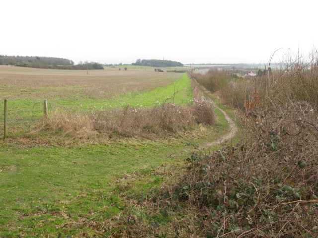
Image: © Nick Smith Taken: 7 Mar 2009
There is a path between the field and road embankment but it is not marked as a footpath on the map.
Images are licensed for reuse under creativecommons.org/licenses/by-sa/2.0
Image Location
Latitude
51.213761
Longitude
1.30086