Farmland to the north of Dundee
Introduction
The photograph on this page of Farmland to the north of Dundee by Val Vannet as part of the Geograph project.
The Geograph project started in 2005 with the aim of publishing, organising and preserving representative images for every square kilometre of Great Britain, Ireland and the Isle of Man.

There are currently over 7.5m images from over 14,400 individuals and you can help contribute to the project by visiting https://www.geograph.org.uk
Farmland to the north of Dundee
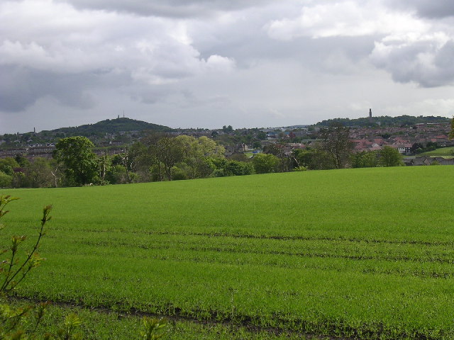
Image: © Val Vannet Taken: 23 May 2005
The skyline of Dundee is here viewed looking south south west from the minor road in the east of the grid square. Dundee Law (Image) stands out clearly on the skyline while the chimney known as Cox's Stack (grid square Image) breaks the skyline to the right of the photo.
Images are licensed for reuse under creativecommons.org/licenses/by-sa/2.0
Image Location
Latitude
56.498671
Longitude
-2.984336