St John's Road
Introduction
The photograph on this page of St John's Road by Ian Capper as part of the Geograph project.
The Geograph project started in 2005 with the aim of publishing, organising and preserving representative images for every square kilometre of Great Britain, Ireland and the Isle of Man.

There are currently over 7.5m images from over 14,400 individuals and you can help contribute to the project by visiting https://www.geograph.org.uk
St John's Road
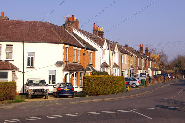
Image: © Ian Capper Taken: 21 Mar 2009
This part of Earlswood was developed at the very end of the 19th century - a plaque just visible on a house about half way along this row of houses gives a date of 1898.
Images are licensed for reuse under creativecommons.org/licenses/by-sa/2.0
Image Location
Latitude
51.231603
Longitude
-0.165382