Davis Row
Introduction
The photograph on this page of Davis Row by Malcolm Campbell as part of the Geograph project.
The Geograph project started in 2005 with the aim of publishing, organising and preserving representative images for every square kilometre of Great Britain, Ireland and the Isle of Man.

There are currently over 7.5m images from over 14,400 individuals and you can help contribute to the project by visiting https://www.geograph.org.uk
Davis Row
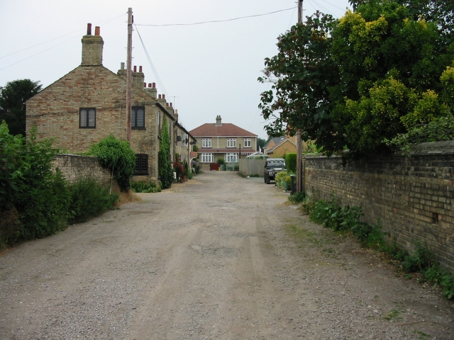
Image: © Malcolm Campbell Taken: 5 Jul 2006
Just one motor vehicle on a normally busy mud track. Previously known as Paradise Row. The home in the foreground to the left was The Stag Public House which opened in 1868 and closed in 1926.
Images are licensed for reuse under creativecommons.org/licenses/by-sa/2.0
Image Location
Latitude
52.006941
Longitude
-0.264508