Farmville Road, Splott
Introduction
The photograph on this page of Farmville Road, Splott by Linda Bailey as part of the Geograph project.
The Geograph project started in 2005 with the aim of publishing, organising and preserving representative images for every square kilometre of Great Britain, Ireland and the Isle of Man.

There are currently over 7.5m images from over 14,400 individuals and you can help contribute to the project by visiting https://www.geograph.org.uk
Farmville Road, Splott
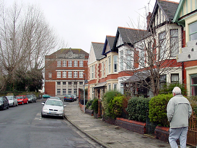
Image: © Linda Bailey Taken: 12 Feb 2006
Splott previously known as Splottlands, was once owned by the Bishop of Llandaff. Much of the housing in Splott is terraced.
Images are licensed for reuse under creativecommons.org/licenses/by-sa/2.0
Image Location
Latitude
51.481817
Longitude
-3.149122