Calstock Boatyard
Introduction
The photograph on this page of Calstock Boatyard by Tony Atkin as part of the Geograph project.
The Geograph project started in 2005 with the aim of publishing, organising and preserving representative images for every square kilometre of Great Britain, Ireland and the Isle of Man.

There are currently over 7.5m images from over 14,400 individuals and you can help contribute to the project by visiting https://www.geograph.org.uk
Calstock Boatyard
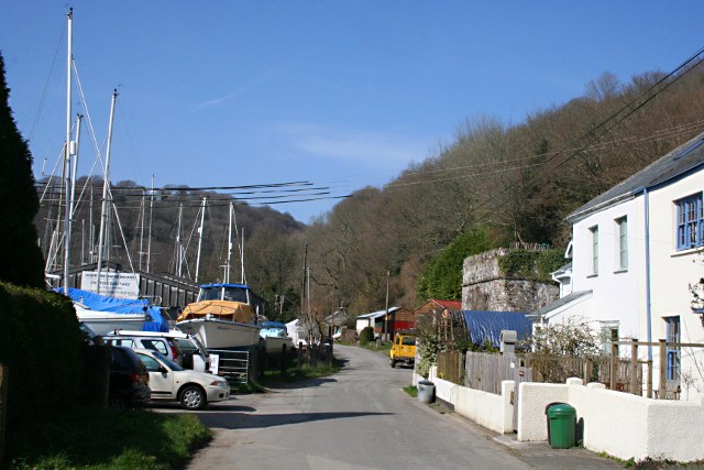
Image: © Tony Atkin Taken: 21 Mar 2009
Looking along the riverside road towards Danescombe with the boatyard on the left. The stone building on the right is a disused lime kilns, one of many along the river hereabouts.
Images are licensed for reuse under creativecommons.org/licenses/by-sa/2.0
Image Location
Latitude
50.498164
Longitude
-4.215604