Railway bridge on the Monarch's Way
Introduction
The photograph on this page of Railway bridge on the Monarch's Way by John M as part of the Geograph project.
The Geograph project started in 2005 with the aim of publishing, organising and preserving representative images for every square kilometre of Great Britain, Ireland and the Isle of Man.

There are currently over 7.5m images from over 14,400 individuals and you can help contribute to the project by visiting https://www.geograph.org.uk
Railway bridge on the Monarch's Way
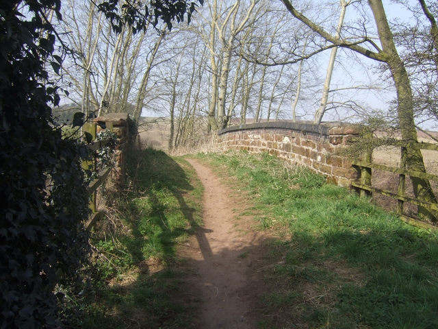
Image: © John M Taken: 21 Mar 2009
The long distance footpath follows King Charles II's flight after the Battle of Worcester in 1651. The kings party passed through Stourbridge during the night of 3rd September in company with Colonel Gifford later finding refuge at Whiteladies Priory. Using Public Rights Of Way, roads and canal towpaths the footpath links the known places where the king stayed during his six week journey before his escape into exile in France. There were of course no canals or railways at that time.
Images are licensed for reuse under creativecommons.org/licenses/by-sa/2.0
Image Location
Latitude
52.425818
Longitude
-2.143634