Brighton Road
Introduction
The photograph on this page of Brighton Road by Ian Capper as part of the Geograph project.
The Geograph project started in 2005 with the aim of publishing, organising and preserving representative images for every square kilometre of Great Britain, Ireland and the Isle of Man.

There are currently over 7.5m images from over 14,400 individuals and you can help contribute to the project by visiting https://www.geograph.org.uk
Brighton Road
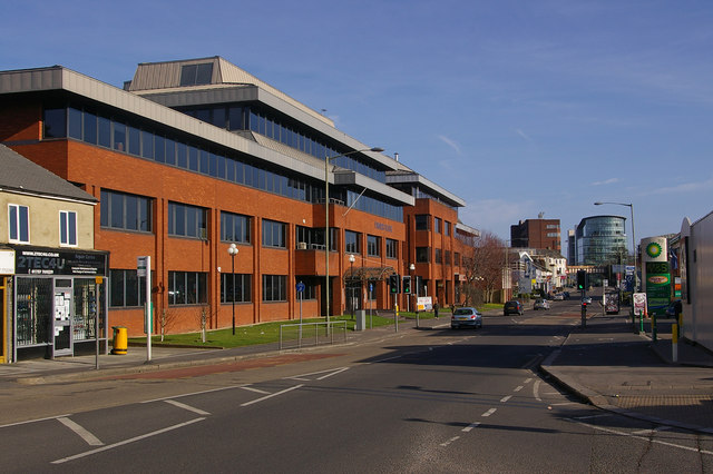
Image: © Ian Capper Taken: 15 Mar 2009
Looking towards Redhill town centre, with the Reading Arch and Kingsgate in the background (see Image). The office block on the left is Furness House.
Images are licensed for reuse under creativecommons.org/licenses/by-sa/2.0
Image Location
Latitude
51.235221
Longitude
-0.170754