Royal Earlswood Park
Introduction
The photograph on this page of Royal Earlswood Park by Ian Capper as part of the Geograph project.
The Geograph project started in 2005 with the aim of publishing, organising and preserving representative images for every square kilometre of Great Britain, Ireland and the Isle of Man.

There are currently over 7.5m images from over 14,400 individuals and you can help contribute to the project by visiting https://www.geograph.org.uk
Royal Earlswood Park
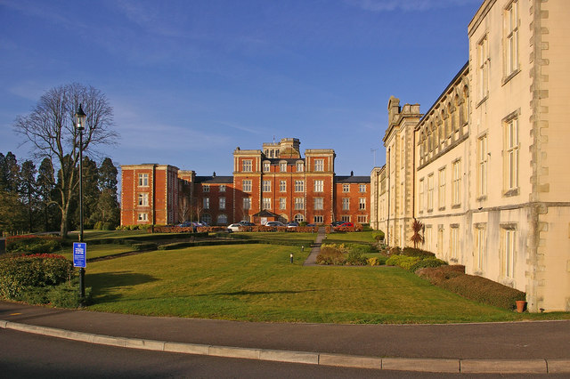
Image: © Ian Capper Taken: 15 Mar 2009
See Image for info. On the right is the former workshop, now called Edward House (see Image). The former main building, now called Victoria Court, is beyond.
Images are licensed for reuse under creativecommons.org/licenses/by-sa/2.0
Image Location
Latitude
51.223319
Longitude
-0.165296